Advanced Technology Stack
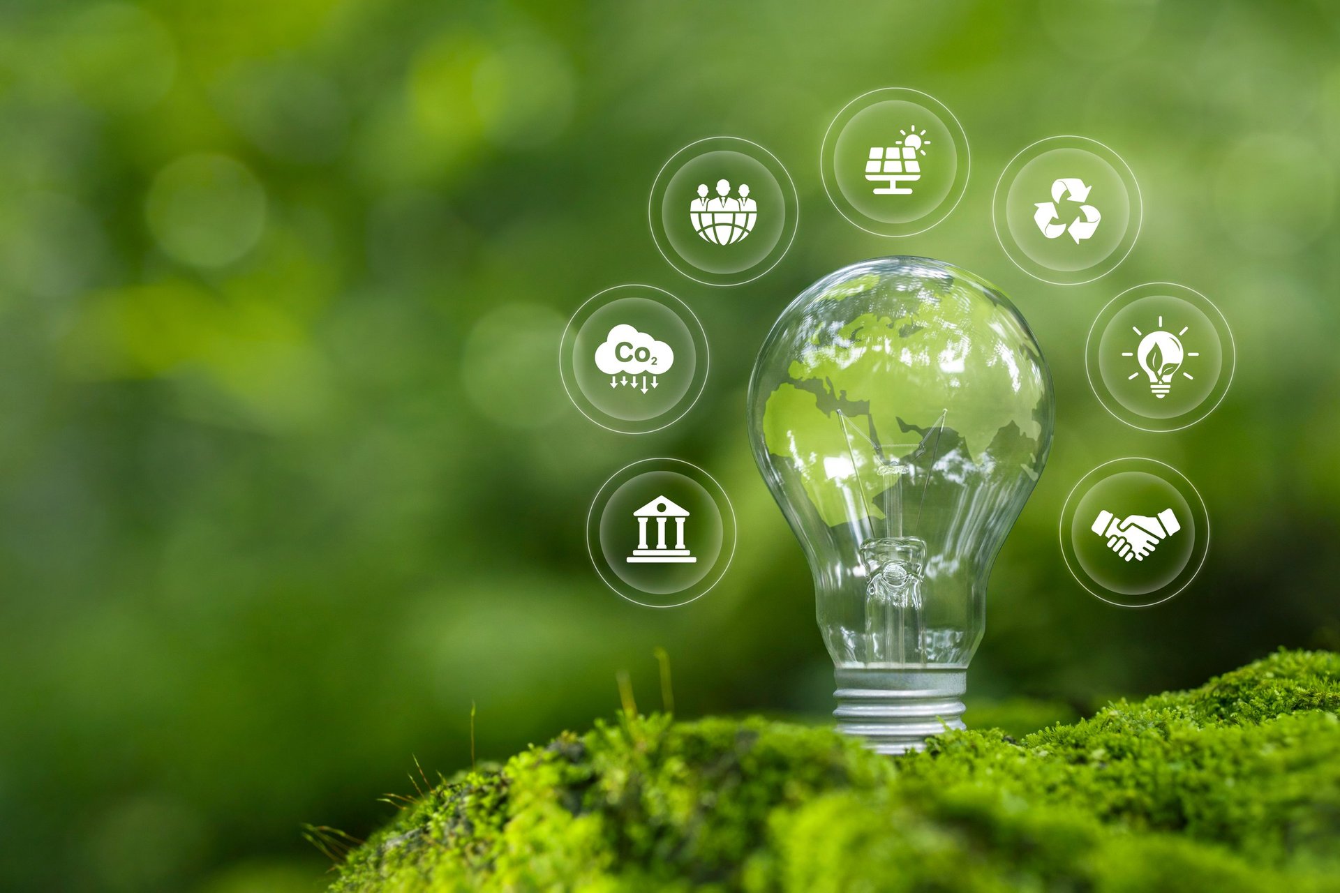
Geospatial Solutions for Environmental Impact
Our comprehensive suite of geospatial technologies and methodologies delivers actionable insights for environmental monitoring, resource management, and sustainable development across Sub-Saharan Africa.