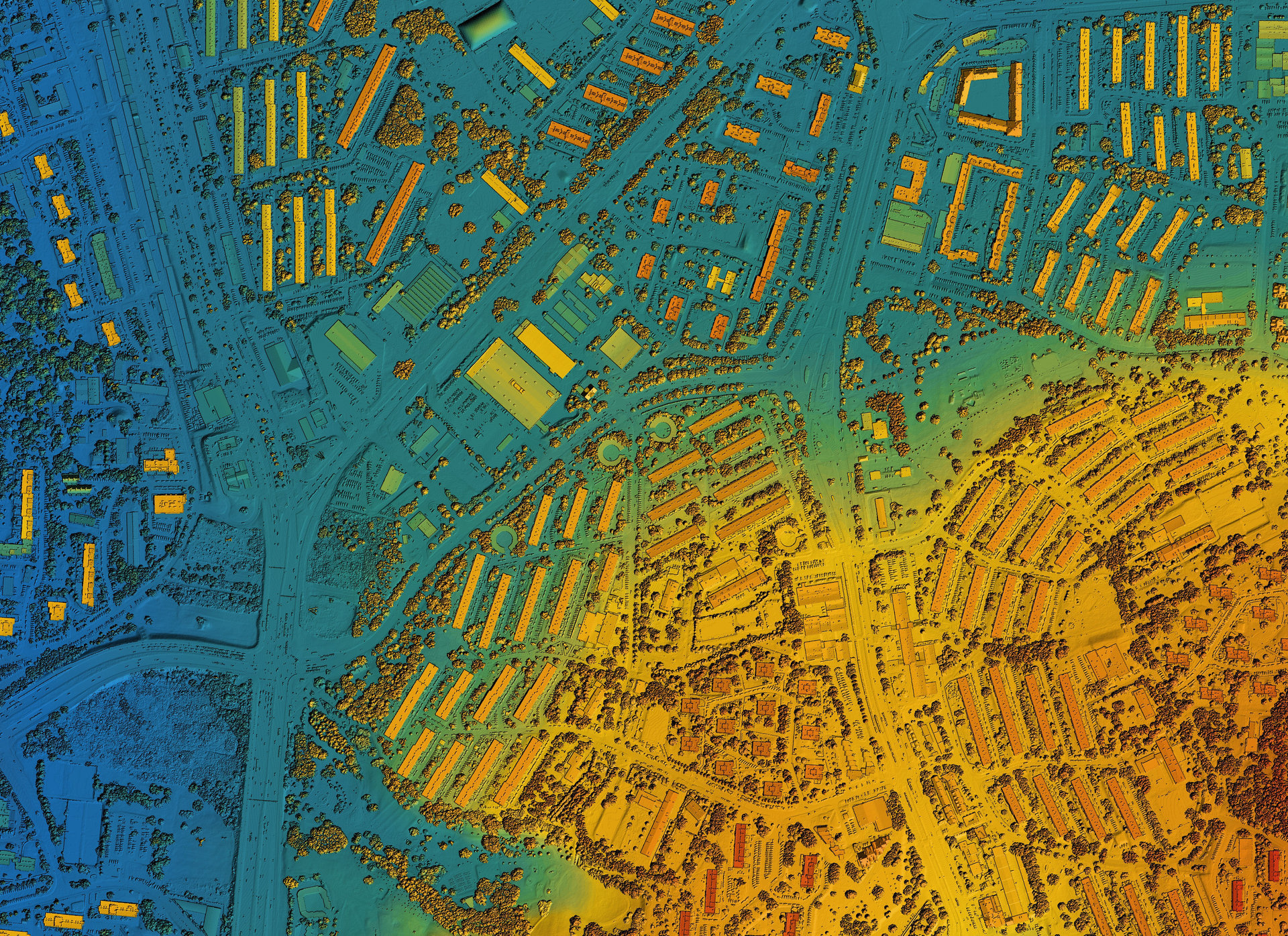
Our geospatial solutions address the most pressing environmental and development challenges facing Sub-Saharan Africa. We identify, monitor, and help resolve critical issues affecting communities and ecosystems across the continent.
Through spatial science and community partnership, we tackle environmental issues that directly affect the livelihoods of millions across Sub-Saharan Africa.
Monitoring forest cover changes, identifying illegal logging hotspots, and supporting reforestation efforts through satellite analysis and community engagement.
Learn MoreMapping watersheds, tracking water quality, identifying flood risks, and ensuring equitable access to clean water through spatial analysis and monitoring.
Learn MoreAnalysing soil health, optimising land use, improving crop monitoring, and supporting smallholder farmers with precision agriculture tools.
Learn MoreAssessing climate vulnerabilities, modelling future scenarios, and developing adaptation strategies for communities most at risk from environmental shifts.
Learn MoreSupporting sustainable urban growth through infrastructure mapping, informal settlement analysis, and strategic development planning tools.
Learn MoreTracking wildlife habitats, monitoring ecosystem health, and supporting conservation efforts through comprehensive biodiversity mapping.
Learn MoreOur technology and methodologies transform complex environmental data into actionable intelligence that enables evidence-based decision making at all levels—from local communities to national governments.
Continuous satellite and drone-based monitoring provides real-time data on environmental changes across vast geographic areas.
We transform raw spatial data into visual insights and reports that help stakeholders understand patterns and make informed choices.
We build local capacity to collect, analyse, and use geospatial data, ensuring sustainable impact beyond our direct involvement.
Active projects spanning 15+ countries across Sub-Saharan Africa
Whether you're working on conservation, agriculture, urban development, or disaster risk reduction, our geospatial solutions can help you understand and address your environmental challenges.
Explore related pages: